The Expanded Freshwater and Terrestrial Environmental Observation Network
The Expanded Freshwater and Terrestrial Environmental Observation Network (EFTEON) aims to provide an instrumented platform for the South African environmental research community, focused on socially-relevant terrestrial landscapes and their coupled hydrological systems.
A multi-scale approach is taken in the design to incorporate landscape-level processes, long term assessment of key biodiversity components, community-wide surveys and, meteorological and micro-meteorological measurements to inform about environmental and anthropogenic change.
EFTEON aims to develop six landscape level platforms representing important South African Ecosystem-Human complexes. The data products to be generated will be open access and include:
The design concept is based on distributed landscapes, each with responsibility for representing an important South African Ecosystem/Human complex.
The landscapes are intended to include representatives of major biomes in South Africa and human transformed ecosystems such as urban areas and agricultural systems.
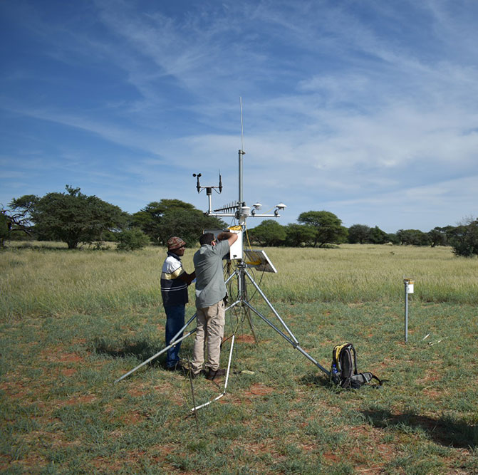
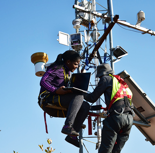
The landscapes are supported by a central co-ordination and data management facility. Each of the landscapes is proposed to have a heavily instrumented core site for fresh water and terrestrial observations and a network of instrumented subsidiary sites, to provide supporting data at a broader spatial scale. A Critical Zone Observatory approach is implicit in the EFTEON design with a realm of interest extending from the ground water to the atmospheric boundary layer.

Example landscape design from existing infrastructure
A standard set of automated instruments, measuring:
A suite of standard repeated manual measurements, covering:
Office, laboratory and storage facilities, preferably hosted with or nearby a thematically compatible organisation
(institute of higher learning, conservation organisation, biodiversity organisation…)
Meteorological and micrometeorological instrumentation
within this category various types of infrastructure are envisaged, including:
Hydrological measurement instrumentation
Biodiversity sampling