A modular, highly-networked, environmental research infrastructure.

EFTEON aims to provide and operate a network of instrumented landscape-level platforms for the South African environmental research community, focused on socially-relevant terrestrial landscapes and their coupled hydrological systems.

Six Ecosystem Landscapes

Each of the six selected ecosystem research sites represents a large landscape in one of the major biomes in South Africa and includes areas representing human-transformed ecosystems such as urban areas and agricultural systems. 

Landscape Data Products

Expected characteristics for the six distributed EFTEON landscapes

Remotely-sensed imagery

  • Remote sensing is the acquisition of information about an object or phenomenon from a distance, for example, satellite or aircraft-based sensor technologies.

Time-series data

  • Continuous time-series data meteorological parameters hydrological parameters fluxes (Exchange of Energy, Water and Carbon)

Field samples

  • Social-ecological surveys,
  • Biodiversity indicators,
  • Records of disturbances (floods, droughts, pests) and
  • Selected chemical analyses (soil, water and vegetation).

Fixed point photography

Fixed-point photography is used in the EFTEON landscapes as a quick and effective tool for monitoring vegetation.

EFTEON News

See the developments within the EFTEON team and landscapes
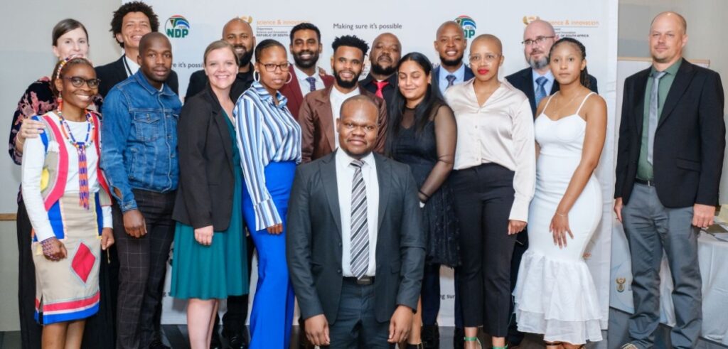
LAUNCH: The Expanded Freshwater and Terrestrial Environmental Observation Network

EFTEON was officially launched on 21 November 2024. Dignitaries and stakeholders from across the country gathered at the scenic Spioenkop Nature Reserve in Northern KwaZulu-Natal and the Cathedral Peak Hotel in the heart of the Drakensberg to attend this landmark event.

For more about the event, see the SAEON Newsletter article.

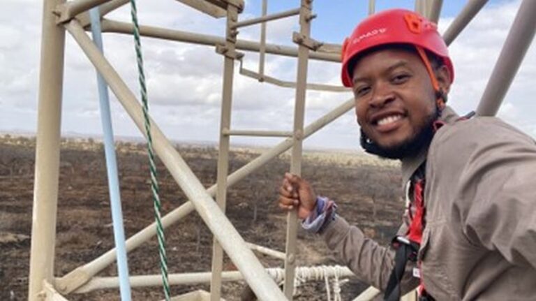
EFTEON insights – from PhD student to instrumentation technician

At the EFTEON Launch Dr Amukelani Maluleke shared his journey with the National Research Foundation (NRF) and EFTEON. Read his speech through the SAEON Newsletter